


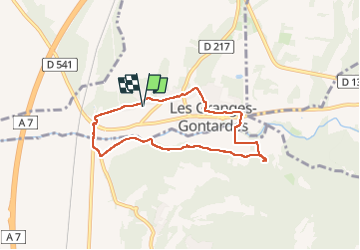

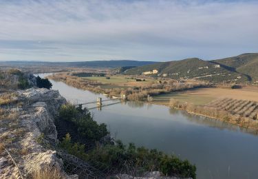
12,6 km | 16,6 km-effort


Benutzer


Kostenlosegpshiking-Anwendung
 SityTrail
IGN / Geografische Institute
SityTrail World
Die Welt öffnet sich für Sie
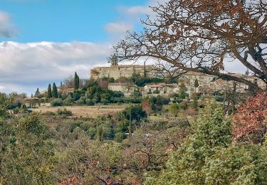
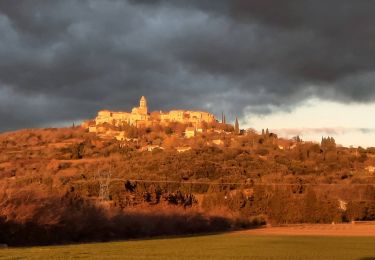
Tour Wandern von 7,1 km verfügbar auf Auvergne-Rhone-Alpen, Drôme, Les Granges-Gontardes. Diese Tour wird von FromHere vorgeschlagen.
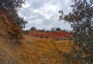
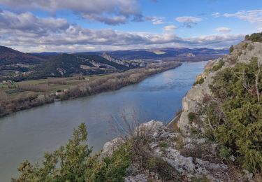
facile, semi ombragé, traversée du village, lavandes, ocres à mi parcours, rivière accessible aux chiens à mi parcours
Wandern
Wandern
Wandern

Wandern

Wandern
Wandern

Wandern

Wandern
Wandern